Domain of Services
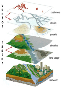
Geo-Informatics
AGiSAC shall endeavour for conceptualization, creation and organization of multi-purpose common digital database for sectoral/integrated decision support systems.
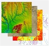
Remote Sensing
For Inventorization, Mapping, Developmental Planning and Monitoring of Natural & Man-made Resources.
Global Navigation Satellite System
For Location based services, Geo-referencing, Engineering Application and Research.
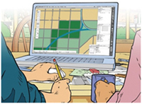
Cartography
For Thematic Mapping and Value added maps.
Photogrammetry
For creation of Digital Elevation Models, Terrain Characteristics & Resource Planning.
Software Development
For wider usage of Geo-spatial applications, Decision Support Systems (Desktop as well as Web based).
Mapping services
Mapping services to the Governments and Non-Governments Organizations for planning, documentation and other purposes. Mapping services for Environment Impact Assessment (EIA) and Environment Management Plan (EMP). Mapping solutions to the Governments and Non-Governments Organizations for the purpose of EIA and EMP preparation and implementation monitoring.